Description
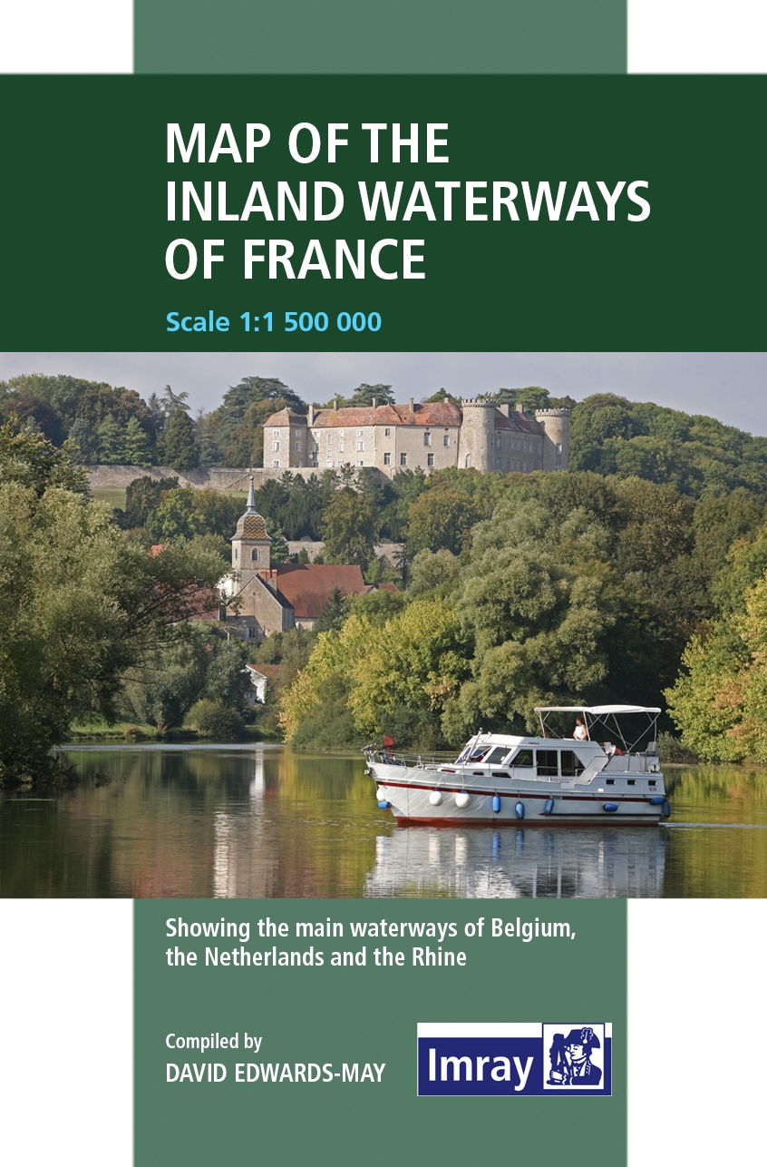
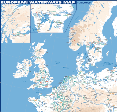
First published in the 1950s under the editorship of E.E. Benest and later Konrad Nussbaum (, Imray’s map of the French inland waterway system has always been regarded as an essential reference for planning a visit to France by boat. This latest edition is a revision of the 2012 edition, the first to be recompiled by David Edwards-May and redrawn in the style of the author’s other reference maps.
The cartography includes improved detail and presents essential information concerning distances and dimensions. The map continues to cover the Low Countries and the western part of Germany and also includes large scale insets of the Paris region and Northern France, including the Seine-Nord Europe Canal now under construction. The scale is 1:1 500 000 (1:1 000 000 for Northern France and 1:500 000 for Paris).
The map also gives basic details of more than 50 main boat harbours or ports de plaisance recommended by the author.


