Description
David Edwards-May (Imray) 2021
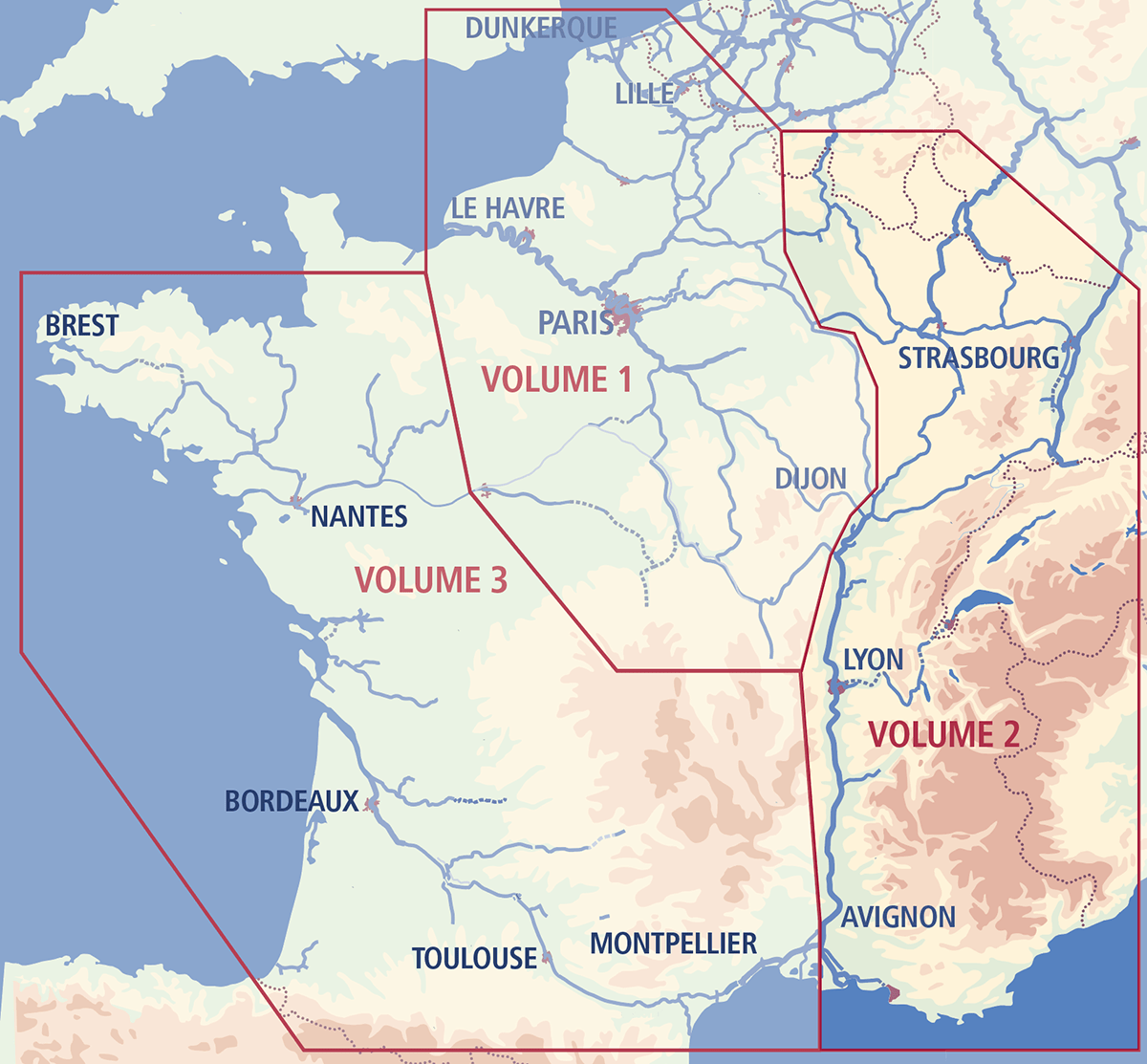
This has been the standard reference work on the French waterways for nearly 70 years. Since the 5th edition in 1983, David Edwards-May has continuously improved the work in presentation and detail. For the 9th edition the text has been completed with practical and tourist information on countless towns and villages, interspersed in the conventional distance tables. Volume 2 covers the waterways from the northeast (Belgian, Luxemburg and German borders) down to the Mediterranean outlets of the Rhône. The connection with the waterways across Southern France is at Saint-Gilles on the Petit Rhône.
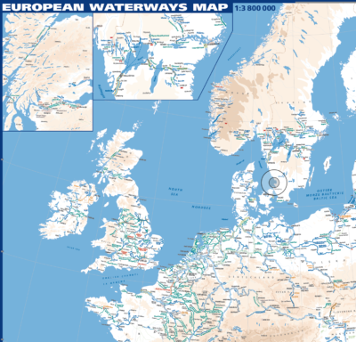
New maps have been added by the author, and many updates to the maps in the previous edition. Waterway junctions and main towns are shown with more detail, including tram and metro lines. There are more than 100 colour photographs. This ninth edition is the most up-to-date source of information on the subject. Click on the map below to see the area covered by this second volume.